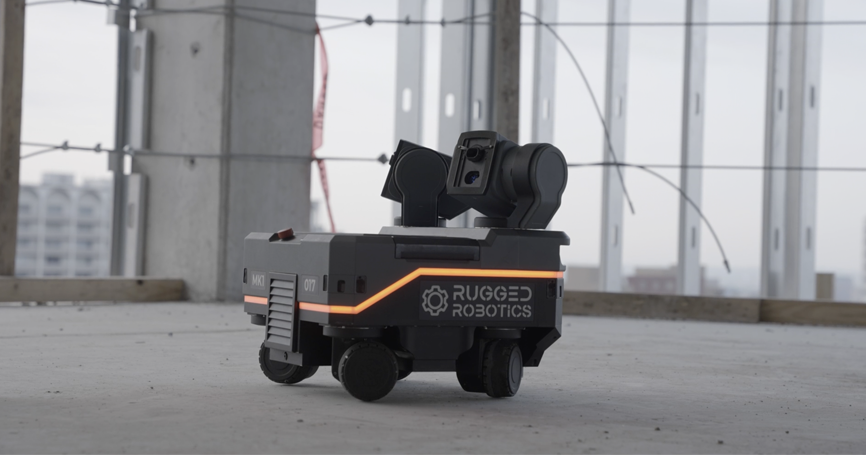
Rugged Robotics Tech Overview
Rugged Robotics offers a comprehensive solution for layout in commercial construction. Our team arrives at the customer site equipped with our mobile robotic platform, utilizing it to mark the floor for the precise installation of items such as drywall, HVAC, plumbing, and more. While our platform shares similarities with a Robotic Total Station, it distinguishes itself through key features such as its mobility and using only one setup.
Primarily, our platform functions as a mobile total station. Our team places markers on control points, and the robot can move around the floor observing as many of these points as necessary to execute tasks. This also enables the platform to move through the space with only a single setup. This unique capability allows our robot to leverage surveying principles employed by the industry and implement innovative algorithms.
An area of convergence between Rugged’s technology/methodology and traditional survey crews/GPS systems lies in the concept of “Dilution of Precision” or DoP. This mathematical representation predicts how measurement errors propagate and amplify during localization in a given space. While survey crews use this concept to extend building control and add markers, Rugged leverages it to extend building control, establish sub-control for additional points of interest, and accurately position the robot in space. This ensures the delivery of the highest quality layout for our customers. We will discuss how the concept of Dilution of Precision is used inside of our platform to ensure high quality work for our customers.
Error Propagation and Dilution of Precision v2
Errors in either distance measurement or location of the known points propagate through the multilateration calculation in a non-uniform manner—this means that certain target pairs are provide more error tolerance than others at each location. A dimensionless understanding of how these errors propagate is called “Dilution of Precision” or DoP. Often used in GPS calculations, DoP accounts for factors such as distance error, noise, and signal frequency and can be used to calculate more specific types of error propagation: Horizontal, Vertical, Position (3D), Time, and Geometric Dilution of Precision.
For our construction site localization purposes, Horizontal Dilution of Precision (HDoP) is sufficient. HDoP offers a numerical depiction of the reliability of multilateration calculation outputs. Its dimensionless nature ensures equivalent DoP values signify the same degree of error propagation, irrespective of the geometric configuration of the known locations used in the multilateration equation. Fig. 1. shows how errors in measurement can propagate differently based on the HDoP value at calculation time. Higher HDoP values show drastically higher localization errors for the same measurement errors and emphasizes why making smart choices based on HDoP values can greatly impact layout accuracy.

DoP as a Selection Tool
Considering our robots localize based on two targets, with multiple pairs available, selecting the optimal pair is crucial. By computing the HDoP for each potential target pair and comparing values, the robot intelligently chooses the most error-tolerant pair. Additionally, overlaying a space with HDoP values aids in identifying areas lacking adequate target coverage before field deployment. If additional targets or obstacles arise during a job, an HDoP map assists in identifying existing targets suitable for multilaterating the robot’s location or additional sub-control.
Case Study
A project can be used as an illustrating example for the usefulness of HDoP. The image shows the lowest HDoP value that can be achieved with the given building control target combinations. Dark purple areas indicated higher (worse) HDoP values. This site had marks mainly around the building’s outer edge. Northeast and southwest corners exhibited high HDoP values using only provided building control which would lead to potentially less accurate layout in those areas. The operations team used this tool to place additional control in the correct areas, resulting in lower HDoP values and accurate prints for the customer in those corners.


